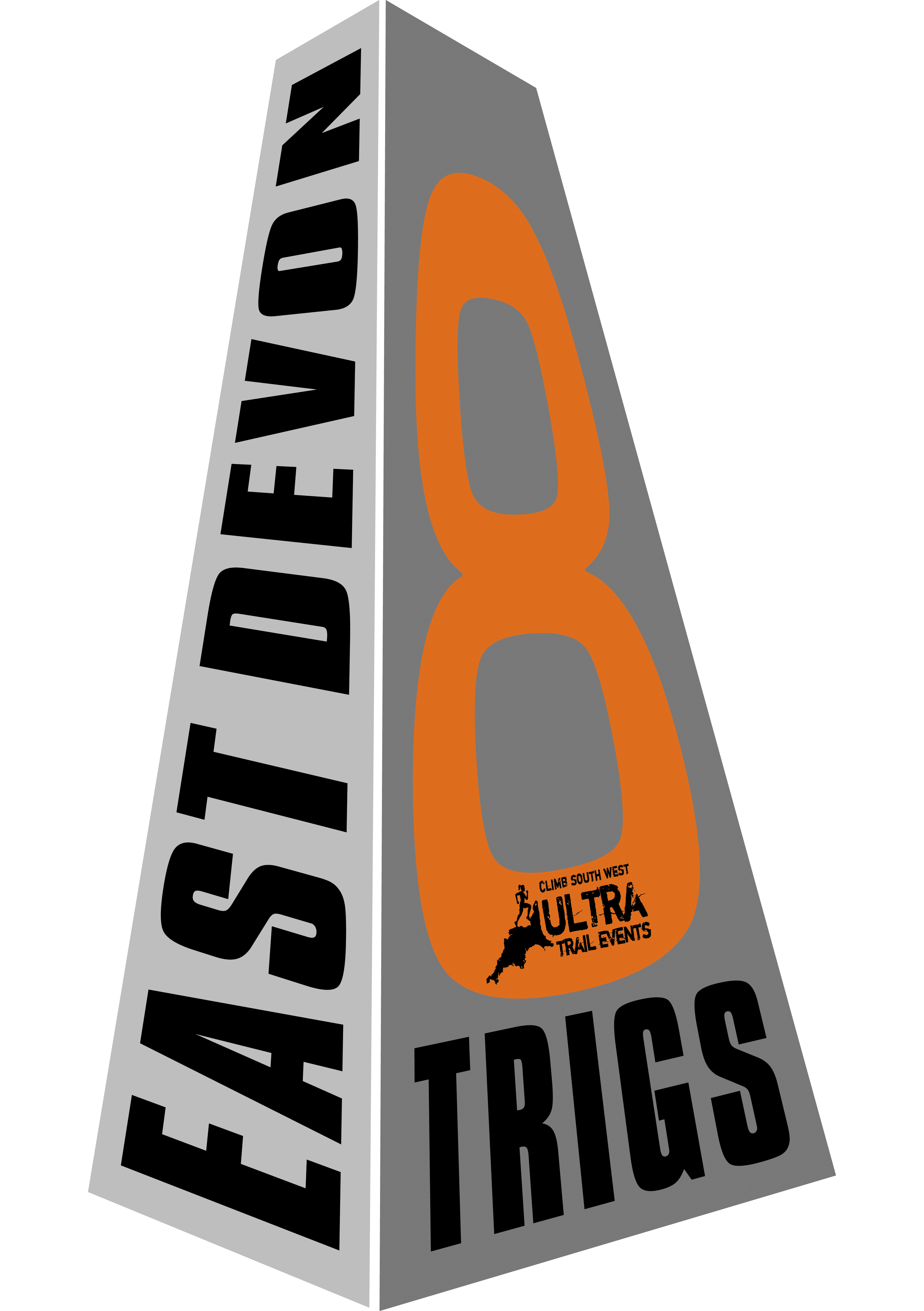
East Devon 8 Trigs (Half/Marathon/Ultra)
3rd October 2026
- Half / Marathon / Ultra
- Self navigation
- Staggered starts on all distances
- Pairs / Teams / Solo
- Solo entries available for confident navigators
- Open to runners and walkers
- GPS tracking included
- Event base will be at Budleigh Salterton Cricket Club with hot food and showers available at the finish
Our Event
Eight of these trig points sit on a beautifully varied trail loop in East Devon. For our 2026 event, we have 3 options:
3 Trigs Half Marathon (22km)* – Max time 6hrs
6 Trigs Marathon (40km)* – Max time 10hrs
8 Trigs Ultramarathon (53km)* Max time 12hrs
*All distances are approximate and assume that you have taken the shortest line
The Route
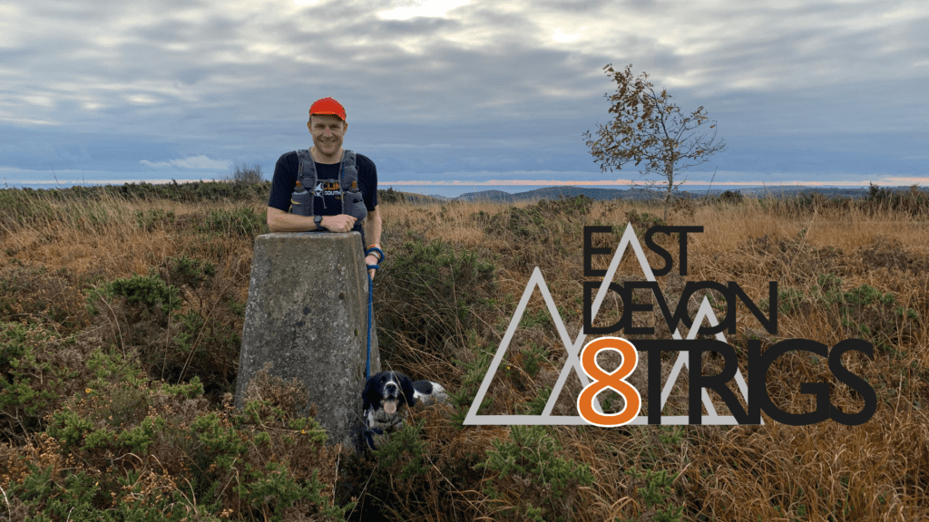
The trig points
West Down Beacon – SY045811
Black Hill – SY026854
Woodbury – SY039881
Aylesbeare – SY 055900 (6 Trigs and 8 Trigs)
Beacon Hill – SY111909 (6 Trigs and 8 Trigs)
Buckton Hill – SY148908 THIS IS CURRENTLY INACCESSIBLE, please use wooden signpost on bridleway as alternative SY148909 (8 Trigs only)
Weston Cliff – SY170882 (8 Trigs only)
High Peak – SY103859 (6 Trigs and 8 Trigs)
These are our recommended routes, but the exact line you take is up to you! (Please see notes in participant handbook). You will need to stamp a card at each trig to prove you have visited each one. Routes will be reversed for our 2026 event (anti-clockwise).
Results:
Fastest times:
8 Trigs: Sam Kelly (M) 4:21:00 / Alice Kelly (F) 5:24:00
5 Trigs: John Tuner (M) 3:07:00 / Emily Turner (F) 3:40:00
5 Trigs: David Parrott (M) 3:06:00 (With river crossing. This route is no longer permitted)
East Devon 8 Trigs photo album 2020
8 Trigs & 5 Trigs results 2021 (click here)
East Devon 18 Trigs
Fancy a bigger challenge? 18 Trigs in East Devon can be linked on foot by a route of approximately 75 miles. Exact route choice is up to you. The aim should be to complete all 18 in under 24hrs, (Like the Bob Graham Round, but in East Devon!)
Further information here: East Devon 18 Trigs